Introduction
The N16 (or EN16) is the National Road that connects Aveiro (today starting from Angeja) to the border town of Vilar Formoso. It was built in the 1930s and was originally classified as National Road No. 8 (EN8‑1ª). It reached Vilar Formoso around 1938, coinciding with the restoration of the São Roque Bridge over the Côa river.
With the 1945 National Road Plan, it received its current designation, National Road No. 16 (EN16), taking on the important role of linking the port of Aveiro to Portugal’s largest land border — Vilar Formoso.
With a total length of approximately 137mi220km, the road was at the time heavily used by both light and heavy vehicles, connecting seven municipal seats (Albergaria‑a‑Velha, Oliveira de Frades, Vouzela, São Pedro do Sul, Mangualde, Fornos de Algodres and Celorico da Beira) and three district capitals (Aveiro, Viseu and Guarda).
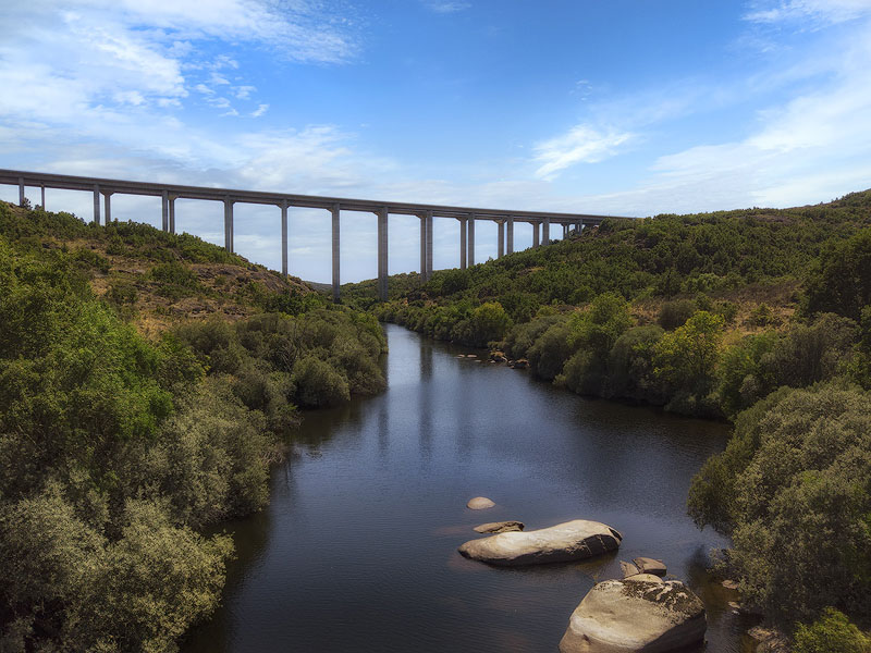
In the 1980s, construction began on the IP5, a fast road with a speed limit of up to 62mph100km/h linking Aveiro to the border, intended to solve the frequent congestion in towns along the route — particularly the final stretch from Castelo Bom to Vilar Formoso, where queues at customs often exceeded 6mi10km, especially in summer. This reduced the journey to about 137mi220km and 3 hours (the final section was completed in 1991).
However, due to several design and construction flaws — single carriageways without physical separation, tight curves, confusing road markings and unclear signage — the new fast road quickly developed a high accident rate, earning the nickname "Estrada da Morte" ("Road of Death").
By 2000 it was already overloaded (around 15,000 vehicles/day, one third of them heavy vehicles). In 2006 it was upgraded to motorway standard and redesignated as the A25, with most of the route built directly over the former fast road — a decision that later sparked controversy when tolls were introduced in 2011. The journey from Aveiro to Vilar Formoso could then be completed in under two hours.
Today, the N16 is a quiet road but one of great scenic and touristic interest, especially along the stretches:
Albergaria-a-Velha Ribeiradio (Vouga River Valley)
Guarda Fornos de Algodres (Serra de Alvendre and Mondego River Valley)
Alto de Leomil Vilar Formoso (Historic Villages, Castelo Bom and Castelo Mendo)
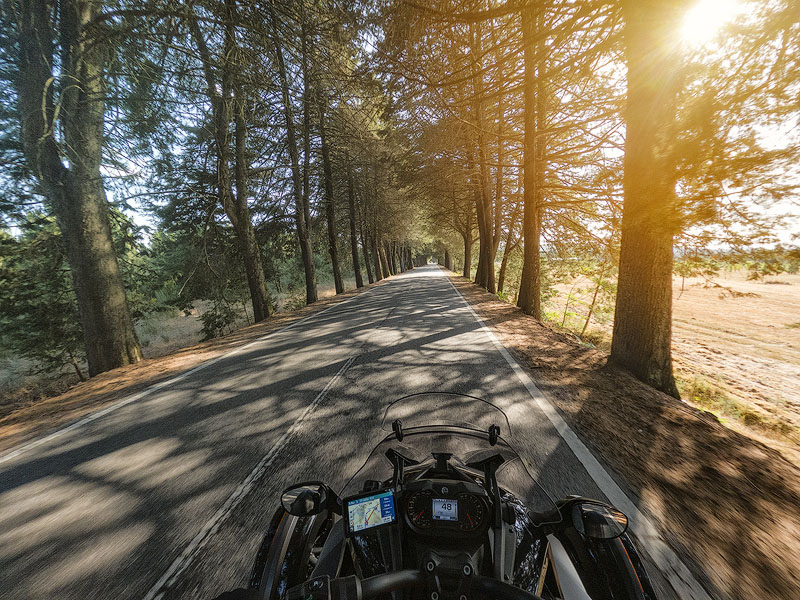
It crosses six rivers (Caima, Vouga, Zela, Dão, Mondego and Côa) and also runs for several miles through dense forests of towering pine and eucalyptus trees (particularly in the Viseu region).
After passing Guarda, the landscape opens into a beautiful granite plateau that continues all the way to the border. The road also traverses regions dotted with grand manor houses (solares) — some restored, others abandoned, but many worth admiring for their beauty and historical value.
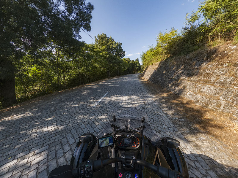
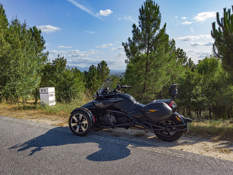
Its total length is around 139mi224km (138mi222km km from Angeja), with the first mile marker appearing only at 14mi22km and the last at 138mi222km. Despite its winding layout, the N16 is generally easy and pleasant to drive, with good width and mostly good asphalt — though a few short sections have poor pavement, and some towns still retain cobblestone surfaces (the original roadbed).
The route can be travelled in either direction, ideally in spring, autumn, or even on cooler summer days, taking advantage of the many river beaches along the way.
From end to end, the journey takes 4h30 to 5h30 at a relaxed pace without stops, making it possible to complete in a long day with a few breaks. However, given the large number of points of interest along the route, we recommend at least two days, with an overnight stay in the city of Viseu — which, interestingly, is where the N16 intersects perpendicularly with another major road, the N2
Messages:
Posted on 2022-03-30 by Luis Cavaco
Posted on 2022-03-30 by Daniel Santos
Posted on 2022-10-12 by helder felix
Posted on 2022-10-12 by Daniel Santos
Posted on 2023-04-28 by Sérgio Duarte
Posted on 2023-05-06 by Daniel Santos
Leave a message