Introduction
Situated south of Salamanca, between Ávila and Cáceres, it forms part of the mountain range known as the Iberian Central System, of which the Serra da Estrela is also a member. Its highest point is the Almanzor Peak, which at 8,504ft2,592m is the tallest summit in the entire range.
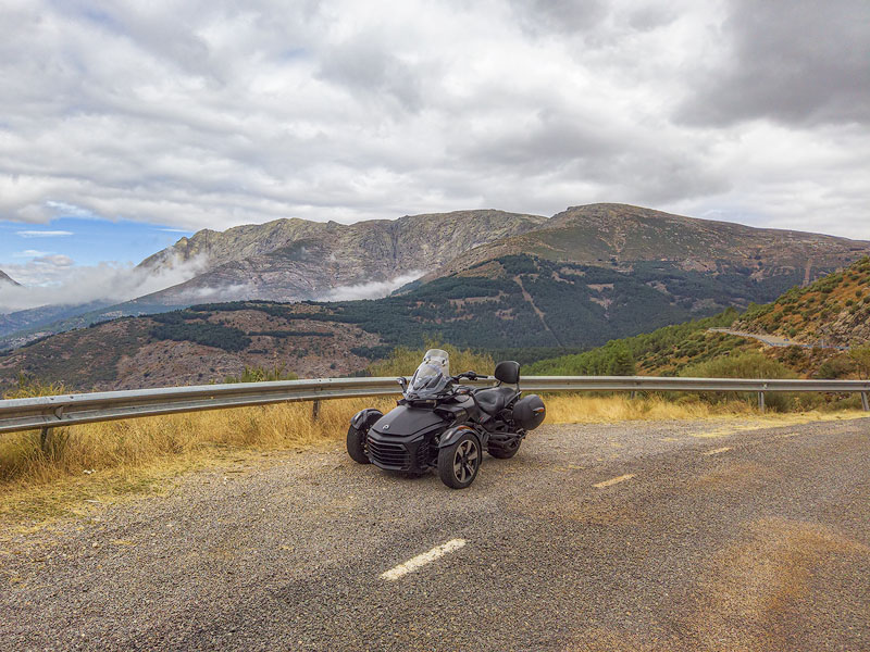
The roads in this region are true high‑mountain routes (between 3,281ft1,000m and 5,577ft1,700m), and at the far west lies the beautiful Jerte River Valley, which — much like the Fundão region in Portugal — is famous for its cherry production, with orchards climbing the surrounding slopes.
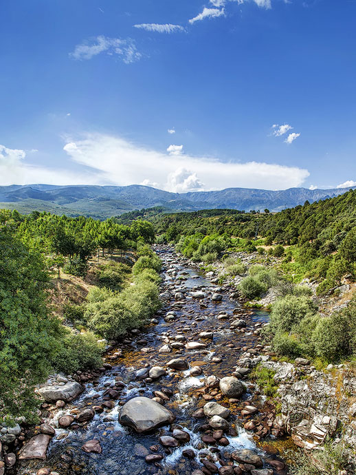
The mountains are rich in water (it is estimated that there are 1,427 streams), and it is on the southern side of the Gredos Natural Park that most of the so‑called gargantas can be found — small gorges carved by watercourses — totalling 47. Some of these gargantas run through villages, creating magnificent river beaches that delight both locals and visitors in the summer.
It is in this fabulous setting that we propose an itinerary through our selection of highlights. This is a circular route that begins and ends in the charming town of El Barco de Ávila, located to the northwest of the Gredos Natural Park. Other good starting or finishing points include Jerte (or any other pueblo in the valley), Cuacos de Yuste, Candeleda, Arenas de San Pedro, or even Monbeltrán.
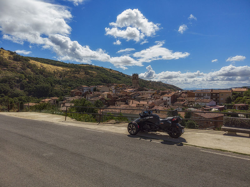
Starting in El Barco de Ávila, the route follows an anticlockwise direction, climbing to the Puerto de Tornavacas before descending into the Jerte River Valley, passing through several pueblos along the riverbanks. The route then turns east, following the southern slopes of the mountains and their numerous gargantas, passing through various villages shaped by these waterways — many of which offer river beaches perfect for a refreshing stop, weather permitting.
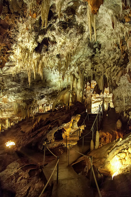
At the eastern end of the route, and before climbing again, a short detour south leads to the Cuevas del Águila, magnificent caves believed to have formed around 12 million years ago.
The route then climbs back into the mountains, passing through a few villages before reaching high‑altitude roads once again, crossing the mountain passes of Serranillos and El Pico. Finally, the journey returns along the entire northern side of the range, following roads above 3,281ft1,000m in altitude. The scenery is particularly beautiful, with sweeping mountain views almost constantly to your left.
It is possible to complete the entire loop in a single day, but we recommend at least two days to avoid rushing and to allow time for longer, more enjoyable stops. If you plan to hike the Circo de Gredos, you should dedicate a full day to that walk alone.
The best time of year is late spring or early summer. Water levels drop during the summer months, and if you intend to climb to the Circo de Gredos, it is important to avoid both snowy conditions and extreme heat
Messages:
Leave a message